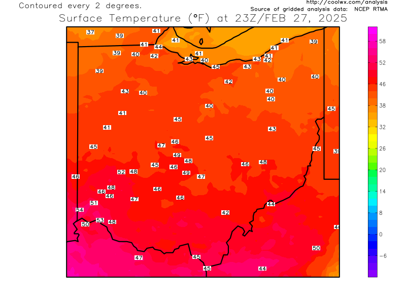
The ground is saturated from Monday's rain. An additional 1-3" of rain a very good possibility over the next 18 hours. Flash Flooding is the greatest concern.
FLASH FLOOD WATCH FOR ALL OF NORTHERN OHIO UNTIL 10PM THIS EVENING. THIS MIGHT BE EXTENDED.
CURRENT RADAR LOOPS AND CURRENT OHIO TEMPERATURES

OHIO TEMPERATURES

OHIO VALLEY RADAR LOOP

.


No comments:
Post a Comment
Note: Only a member of this blog may post a comment.