Thursday, February 06, 2014

This Week's Snow Totals vs Various Model Outputs

How many people continue to believe Facebook and Twitter posts showing model output images of snow storm amounts more than 5 days before it happens? Too many. 

Last week, I wrote why this a BIG mistake. Computer model outputs are to be used as guidance NOT Gospel.  The general public see these posts and treat these maps as actual forecasts by Meteorologists.  They spread like wildfire on social networks causing hype and in some cases paranoia! I lost track how many times I was asked directly "When is this huge snow storm coming? 20 inches in one day?" It wasn't IF the snow was coming but WHEN.

I saved several different model depictions of this "potential snow storm 6 and 7 days BEFOREHAND. Notice how dramatically the snow amounts changed from one day to another.

EUROPEAN DETERMINISTIC
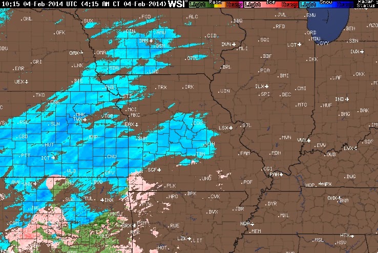
Even the short term, higher resolution model within 24 hours of the event showed HUGE variation.


The FINAL totals...


Once again, trust the HUMAN not the COMPUTER OUTPUT!

Tuesday, February 04, 2014

Tuesday Morning: Heavy Snow UPDATE

Widespread snow event is still on track.


Snow spreading into Missouri as of early Tuesday morning.

RADAR LOOP HERE OR CLICK ON THE IMAGE BELOW

http://www.intellicast.com/National/Radar/Current.aspx?location=USMO0453&animate=true

Scattered light snow later this afternoon won't affect the evening commute much. The bulk of the snow arrives this evening.
The storm looks to take a more southerly track which would keep temperatures below freezing limiting the transition to sleet and keeping the precipitation mainly snow.


 Ohio temperatures stay below freezing all night.

Updated snowfall forecast is as follows: Most areas will receive between 6 and 10 inches of snow by noon Wednesday.

Monday, February 03, 2014

Heavy Snow for Ohio Valley/Northern Ohio

Last week I wrote about why I believe its a risk to post snowfall forecasts online 5 to 7 days out because of the inherent changes in snowfall forecasts and the nature of computer models. Now that we are within 2 days of the event, some educated projections based on the higher resolution, shorter term computer projections mixed with some past experiences are more realistic.

The panhandle of Texas is very quiet as of Monday morning...

Seasonal snow last 40 years through February 2nd. This year is now 10th...probably 7th by week's end.


CLICK HERE FOR THE TEXAS RADAR  for the development of the rain and snow later today and tonight.


The 32 degree line will lift north tomorrow night. The position will be critical for a brief transition to a SLEETIER SNOW south compared to the heavier wetter snow north. A difference of 10-15 miles north or south of the path of the low will make a HUGE difference. I'll update this later today.


Based on the track of the low, the depth of the "milder air" ahead of the low along with the depth of the moisture and the upper level conditions, our updated snowfall forecast is as follows. The high resolution shorter term NAM model has a good handle on the snow as of noon Monday. ...updates later today on FOX8 with Andre and Melissa.