Thursday, April 09, 2015

Heavy Rain and Storms Today

Our first real taste of widespread rain and storms since late last year. Rainfall amounts could exceed an inch over the next 24 hours where heavier downpours develop.


Current LIGHTNING STRIKES HERE


Severe storms are possible. The Storm Prediction Center has places northern Ohio in a SLIGHT RISK with the biggest threat coming from HIGH WINDS.


Remember, the SPC has changed their severe risk categories. Here is a chart comparing the old to the new.

A severe storm does not mean that storm will include tornadoes as many believe. In fact, less than 10 PERCENT or severe storms produce tornadoes.

Current Ohio Valley radar loop

Central Great Lakes sector loop

Tuesday, April 07, 2015

First Taste Of Spring Features Frequent Rains

Stalled front across northern Ohio is the focal point for clusters of rain and a few storms. Notice that these rain clusters move fairly fast with dry breaks in their wake. This will be the general weather outlook through early Friday.


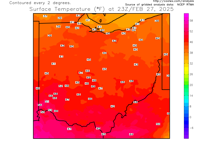
Current OHIO temperatures


Current Ohio Valley radar loop
Central Great Lakes sector loop