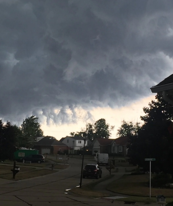
What are shelf clouds? The National Weather Service has a great description.
Shelf clouds are typically seen at the leading edge of a thunderstorm or squall line of thunderstorms. Remember, shelf clouds are not tornadoes or wall clouds. These are formed when rain-chilled air descends in a thunderstorm's downdraft, then spreads laterally when reaching Earth's surface. Warmer, more moist air is lifted at the leading edge, or gust front, of this rain-cooled air. When this warm, moist air condenses, you see the shelf cloud.Normally, you will feel a burst of cooler wind followed by rain and maybe hail. The higher gusts occur on the back edge which can cause downed trees and power outages. So when the next storm develops, look for the Arcus Cloud. Remember that tornadoes normally don't accompany these cloud formations just gusty winds, rain/hail then the highest winds toward the back end.


3 comments:
Beautiful and scary at the same time
Beautiful and scary at the same time
Beautiful and scary at the same time
Post a Comment