I remember distinctly having to cut up several trees that fell in my backyard only to find that they all had Poison Oak growing throughout. Needless to say, the next two weeks were very uncomfortable.
Two distinct elements were present that allowed Ike to not only hold together but move more than a thousand miles inland. A strong high pressure cell was parked off of the east coast. A strong mid-latitude cold front was sliding across the central of the US. Both acted as a funnel focusing the storm north and east. The upper level pattern was perfectly aligned to drive the surface pattern.
 |
| 500 mB heights from September 8th to September 15th |
Wind gusts across northern Ohio topped out at 71 mph in northern Lorain County.
Rainfall amounts across northern Ohio were very high.
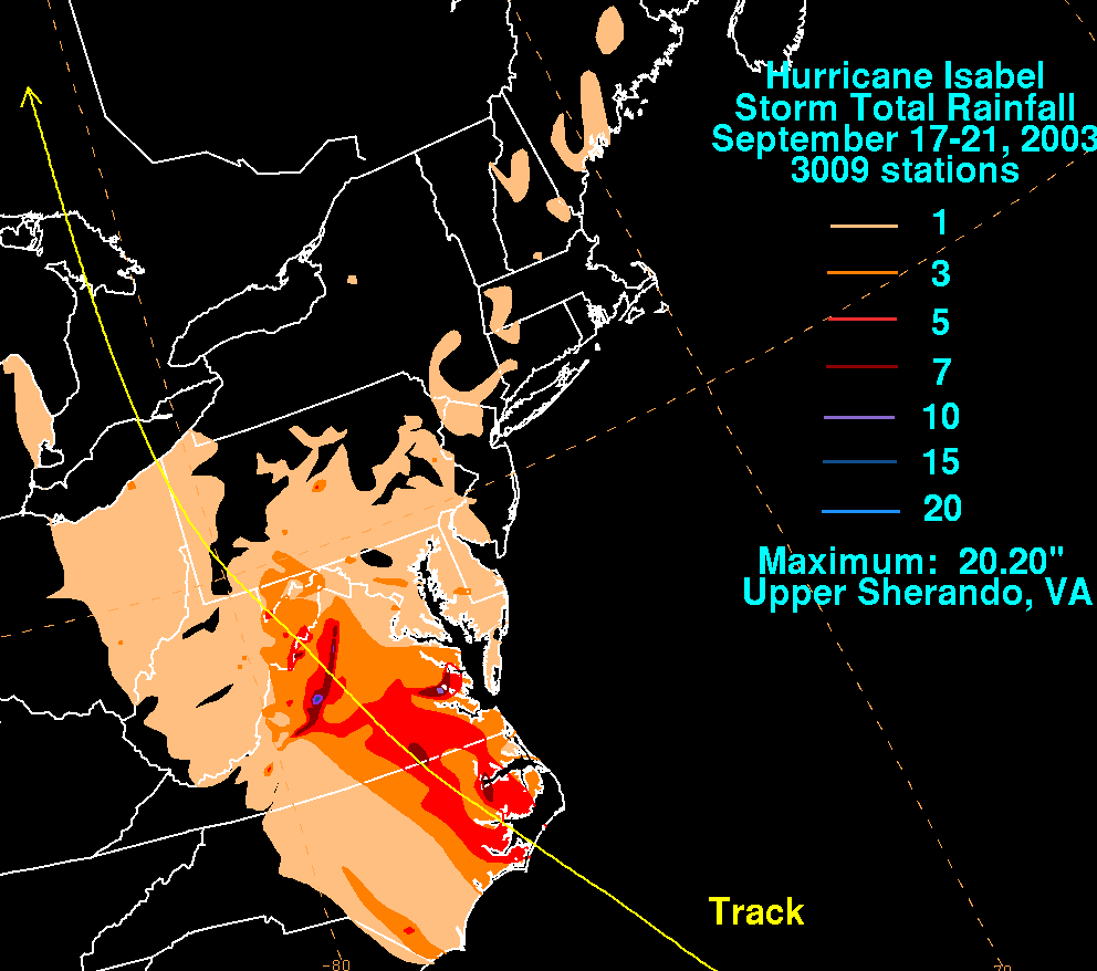
Tropical storms have impacted Ohio before. Remember Hurricane Katrina in 2005? How about Hugo back in 1989? Here are a few notable storms NOT including Hurricane Sandy as it deserves its own post which you can read HERE.


No comments:
Post a Comment